Extraterrestrial Highway
31 March – 23 April 2011
Gallerysmith, Melbourne
Extraterrestrial Highway, in Nevada, is the semi-official title of an ordinary strip of desert highway
that runs north east of Las Vegas and ends at the ghost town of Warm Springs. It is well known in
UFO circles because of the very high number of strange sightings seen along its route. These
events are often alleged to be connected to the top secret military research establishment at
Groom Lake, otherwise known as ‘Area 51’.
Part way along the highway a dirt tracks heads off
west into the hills that screen the secret testing facility from the main road. In another part of this
huge restricted area the US government let off 900 plus nuclear bombs during the cold war era.
13,000 kilometers away, the Stuart Highway runs 315 km past the British nuclear test sites at
Maralinga, then sweeps on south past the Woomera Prohibited Area and the old rocket launch
facilities at Lake Hart. Like Groom lake, it is mostly desert landscape isolated from large
populations and with access prohibited to ordinary citizens. Travelling along these highways the
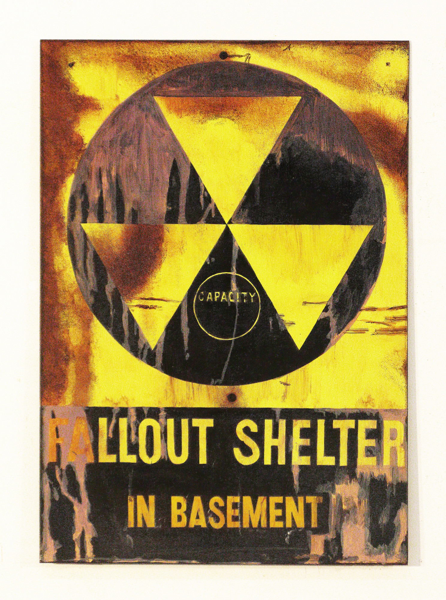
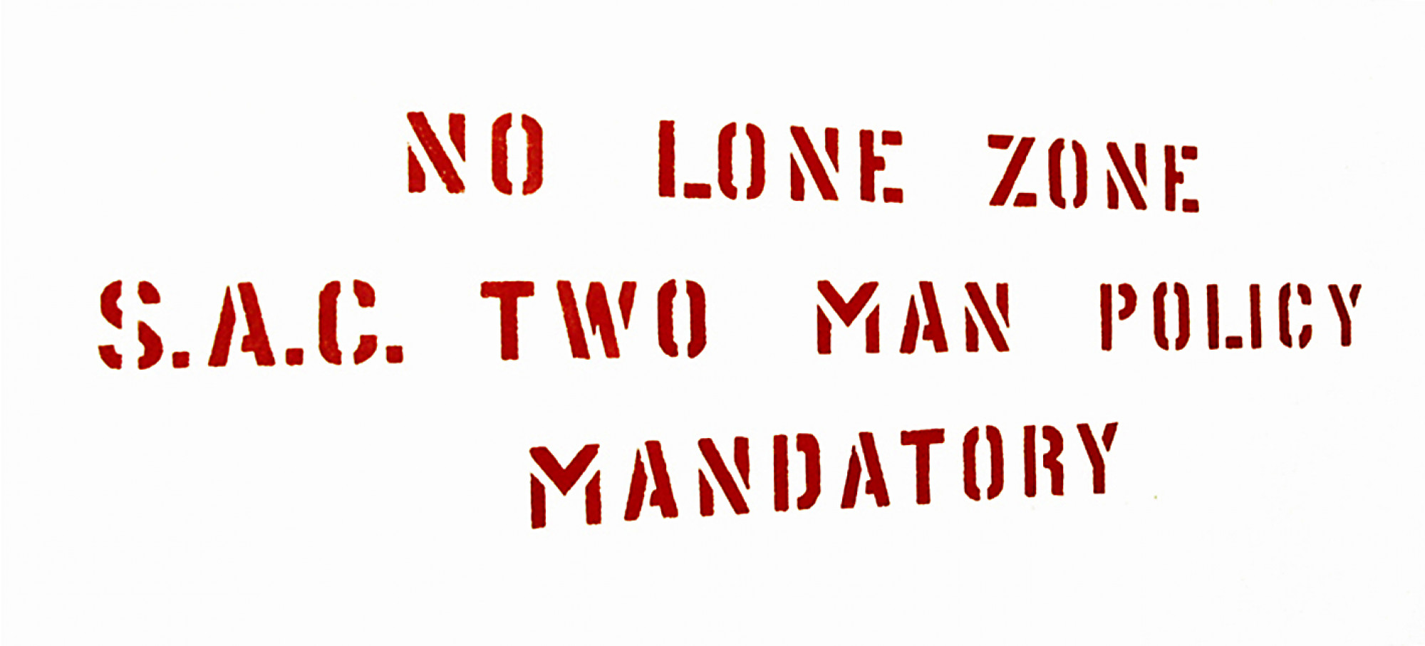
old signage marks the borders between the different types of human exploitation of the landscape.
Places we are not allowed to go or see, typographic markers to 60 years of secret missile,
aeronautical and space research.
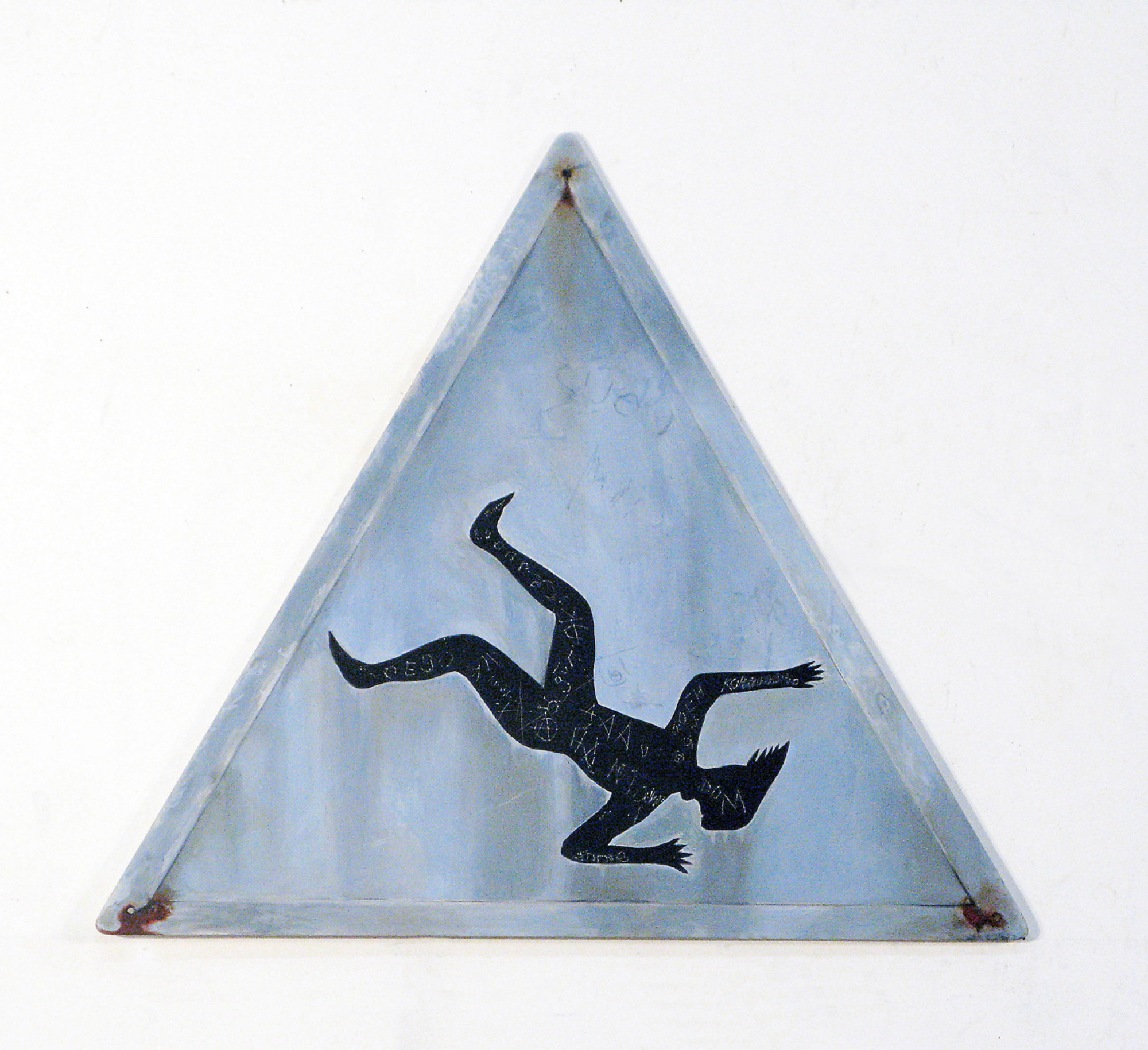
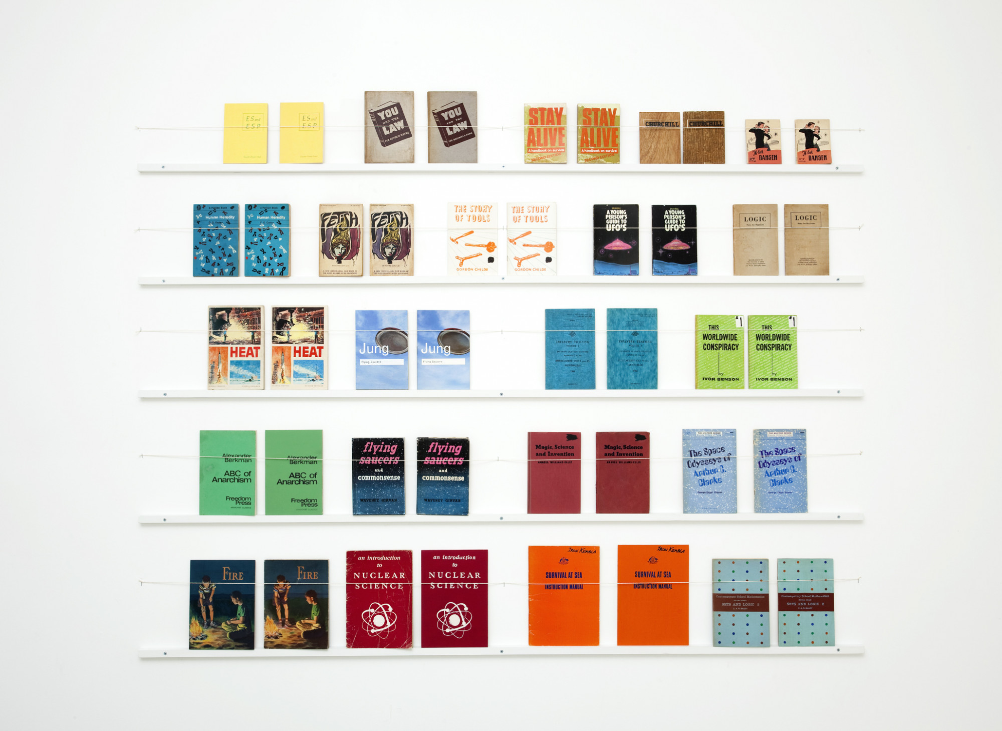
Recreating these signs unhinges them from their purely practical function and gives them a new
totemic meaning. This meaning wobbles between the written content on the signs with all its
historical associations, the supposed dangers of the ‘badlands’, and their new function as paintings
about these landscapes. Although now removed from their origins, they chart the history of the
areas they served and the aspirations and fears of the people that erected them. They are marked,
scratched and stained by their time supposedly spent upon it.
Adam Norton
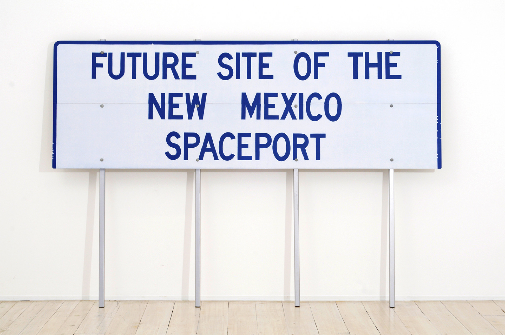
synthetic polymer paint on board, posts, bolts
150 × 217 cm

2010
synthetic polymer paint on board
44 × 66 cm
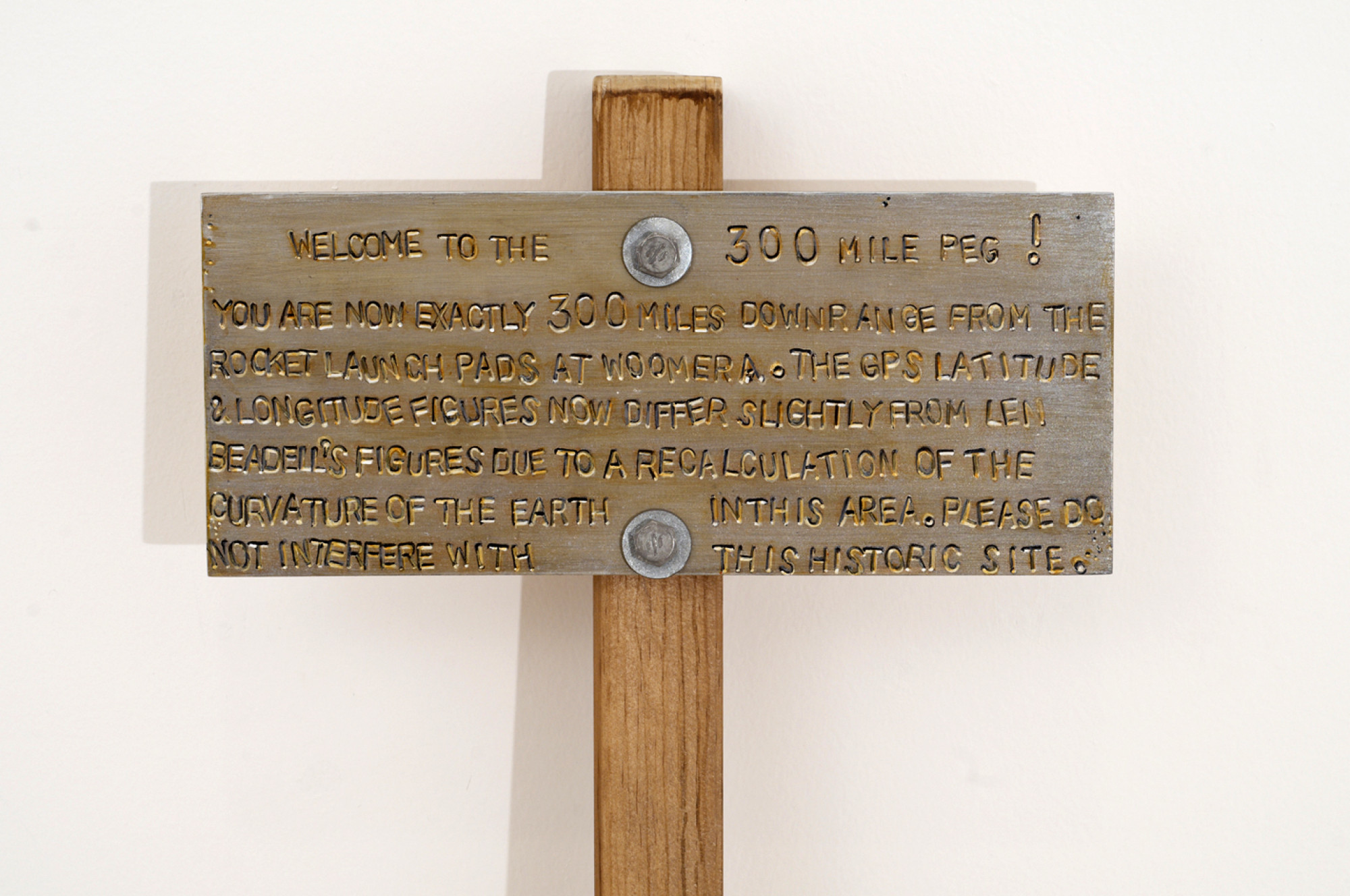
2010
synthetic polymer paint on board, post, bolts
135 × 29 cm
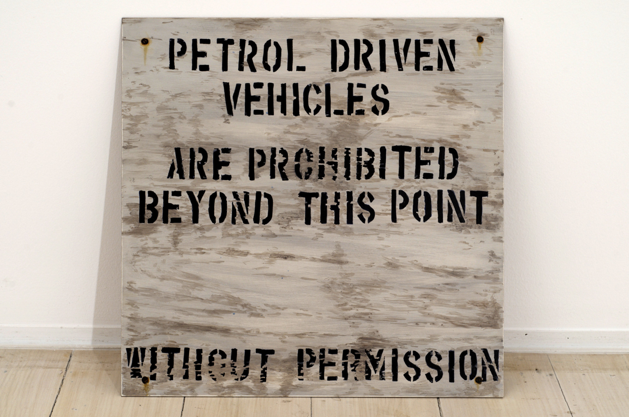
2010
46 × 46 cm
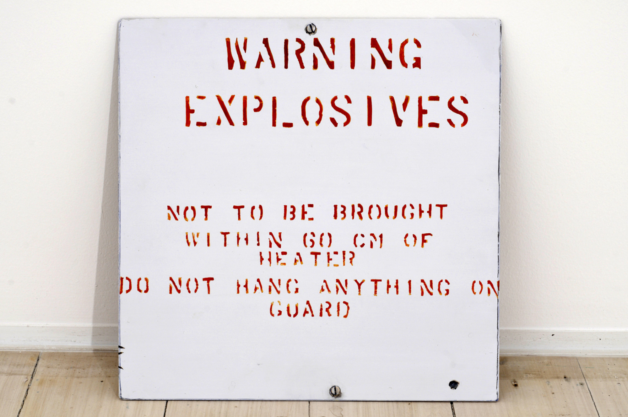
2010
synthetic polymer paint on board
44 × 44 cm
2010
synthetic polymer paint on board
46 × 33 cm

2010
synthetic polymer paint on board
40 × 65 cm
2010
synthetic polymer paint on board
60 × 70 cm
2008 - 2010
synthetic polymer on board, found objects
Dimensions variable
2011
stencil on wall
33 × 65 cm
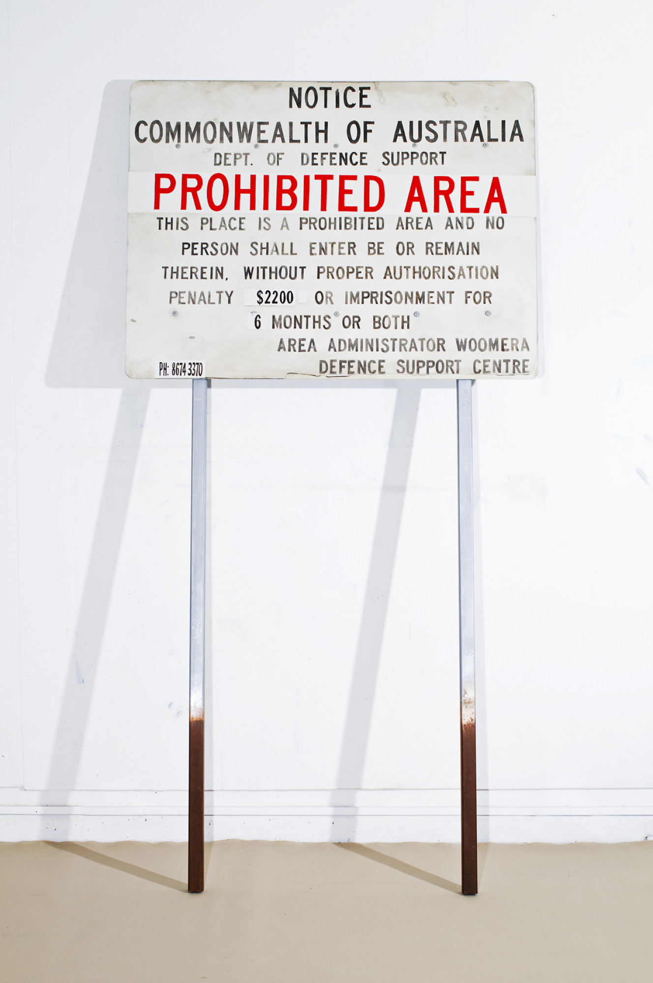
2010
synthetic polymer paint on board, wooden poles, bolts
240 × 122 × 7 cm
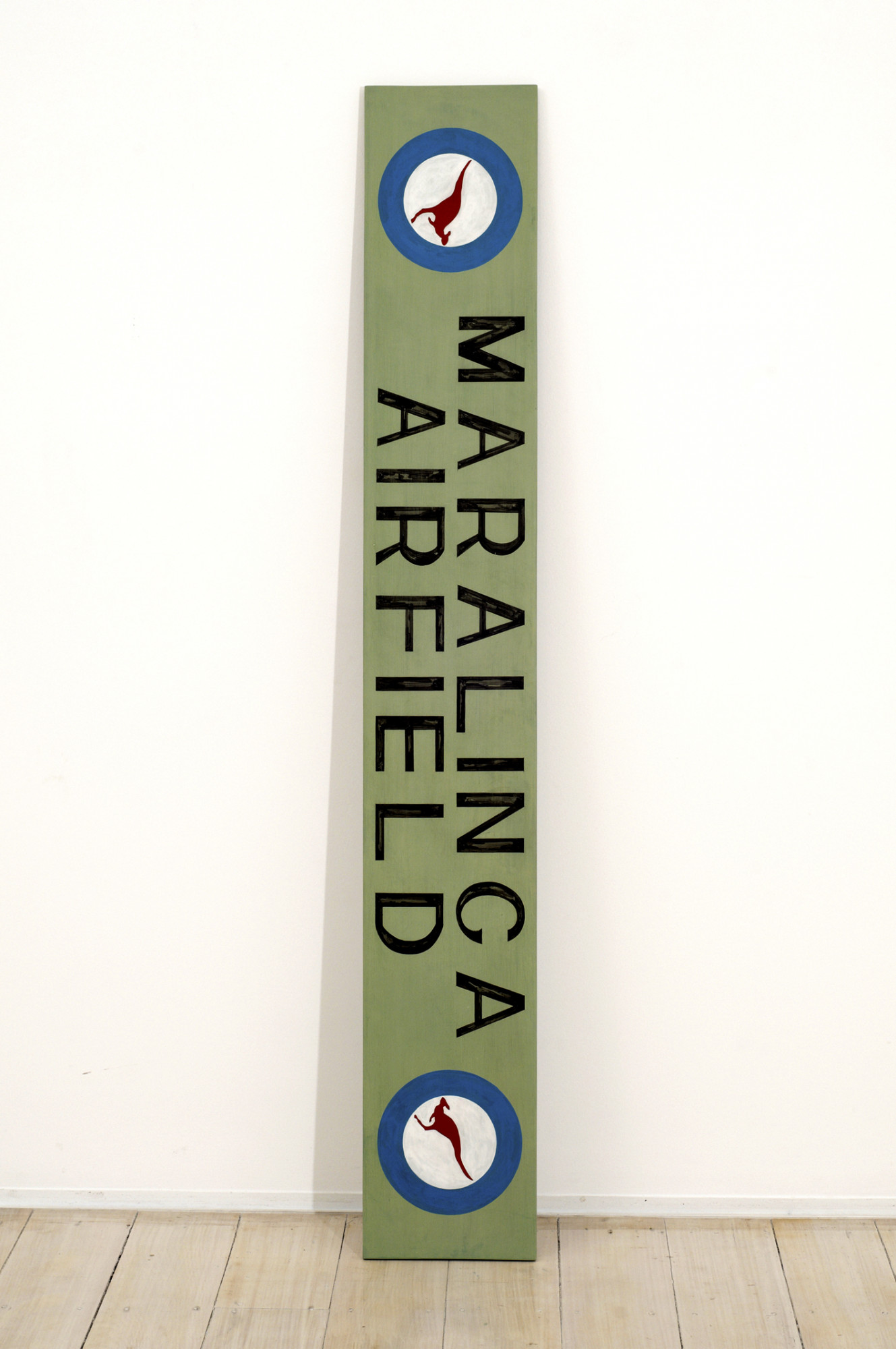
2010
synthetic polymer paint on board
162 × 24 cm
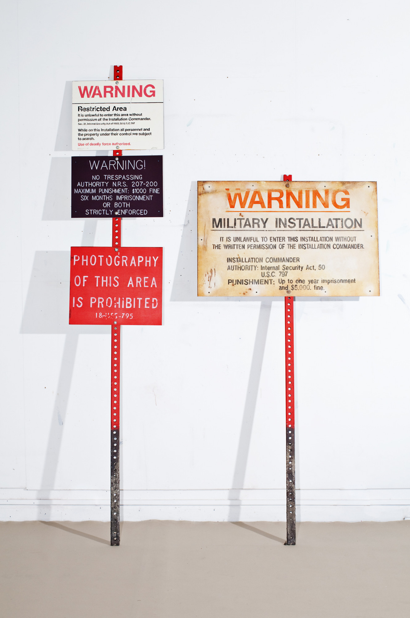
2010
synthetic polymer paint on board, poles, bolts
237 × 155 × 4 cm